

@BJeswaldWRBL @RichardWVUA23 @rzweather Here was my view of the April 27, 2011 Tuscaloosa Tornado. I was about 5 miles south of town near Shelton State, but this monster looked to be much closer. https://t.co/9clDQREYJQ


@BJeswaldWRBL @RichardWVUA23 @rzweather Here was my view of the April 27, 2011 Tuscaloosa Tornado. I was about 5 miles south of town near Shelton State, but this monster looked to be much closer. https://t.co/9clDQREYJQ


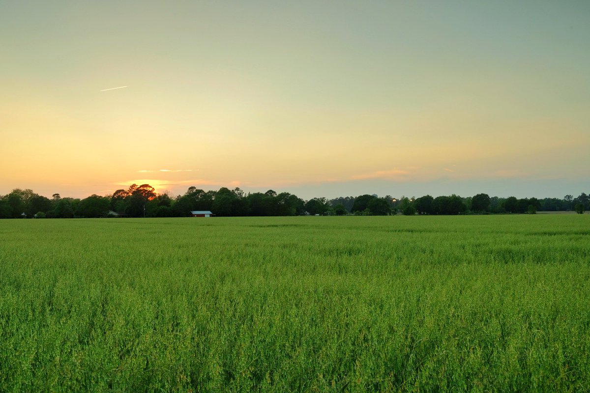
Sunset Atmore,AL @spann @NWSMobile @rzweather @StormHour @ThomasGeboyWX @michaelwhitewx @KDanielCCI @WKRGEd #alwx #sunset https://t.co/262pXcIVTM

On the 10-year anniversary of the 2011 Super Outbreak, here’s a chart I made a decade ago comparing the 2011 #tornado outbreak with the April 1974 Super Outbreak. The two events are remarkably similar. https://t.co/Jd6ctxdRIW

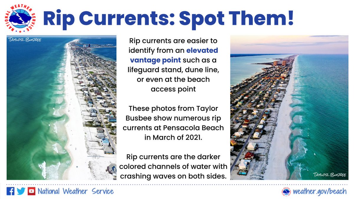
? Rip currents can be difficult to see, are sometimes shallow, & can move faster than an Olympic swimmer.
? #RipCurrents are easier to identify from an elevated vantage point such as a lifeguard stand, dune line, or even at the beach access point.
? Be #BeachSmart. https://t.co/pwi9YcEPOa