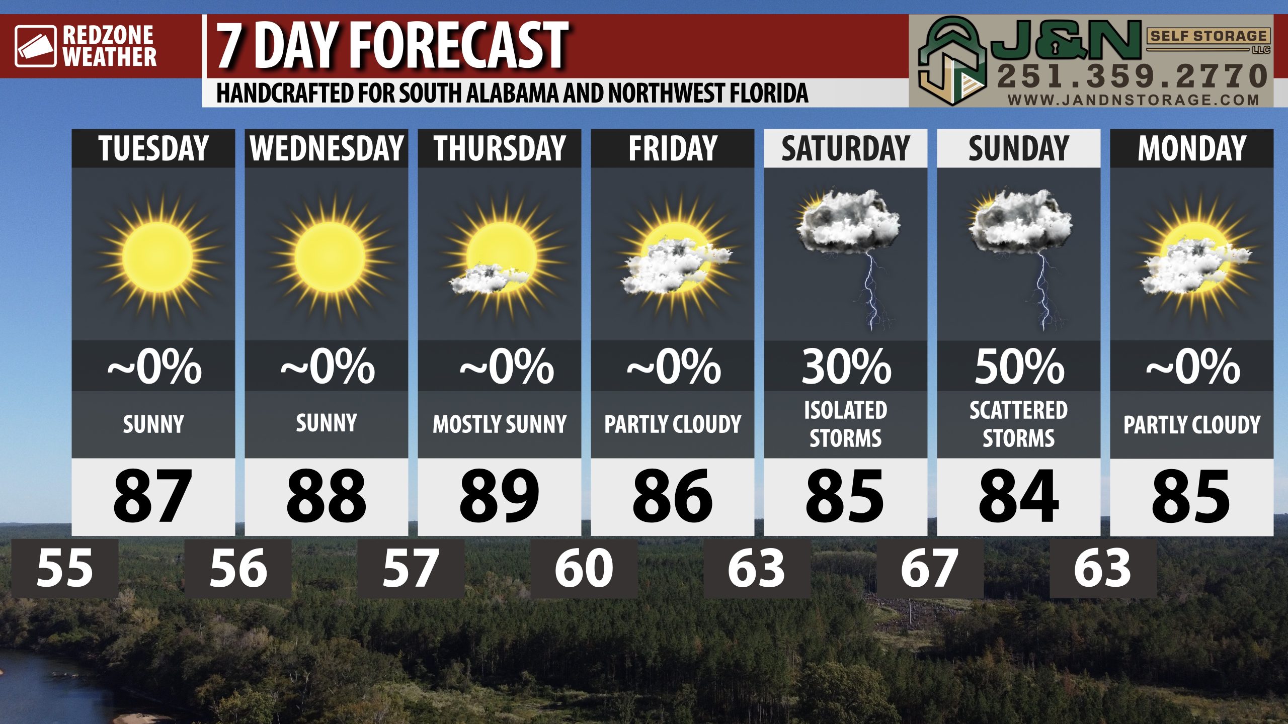
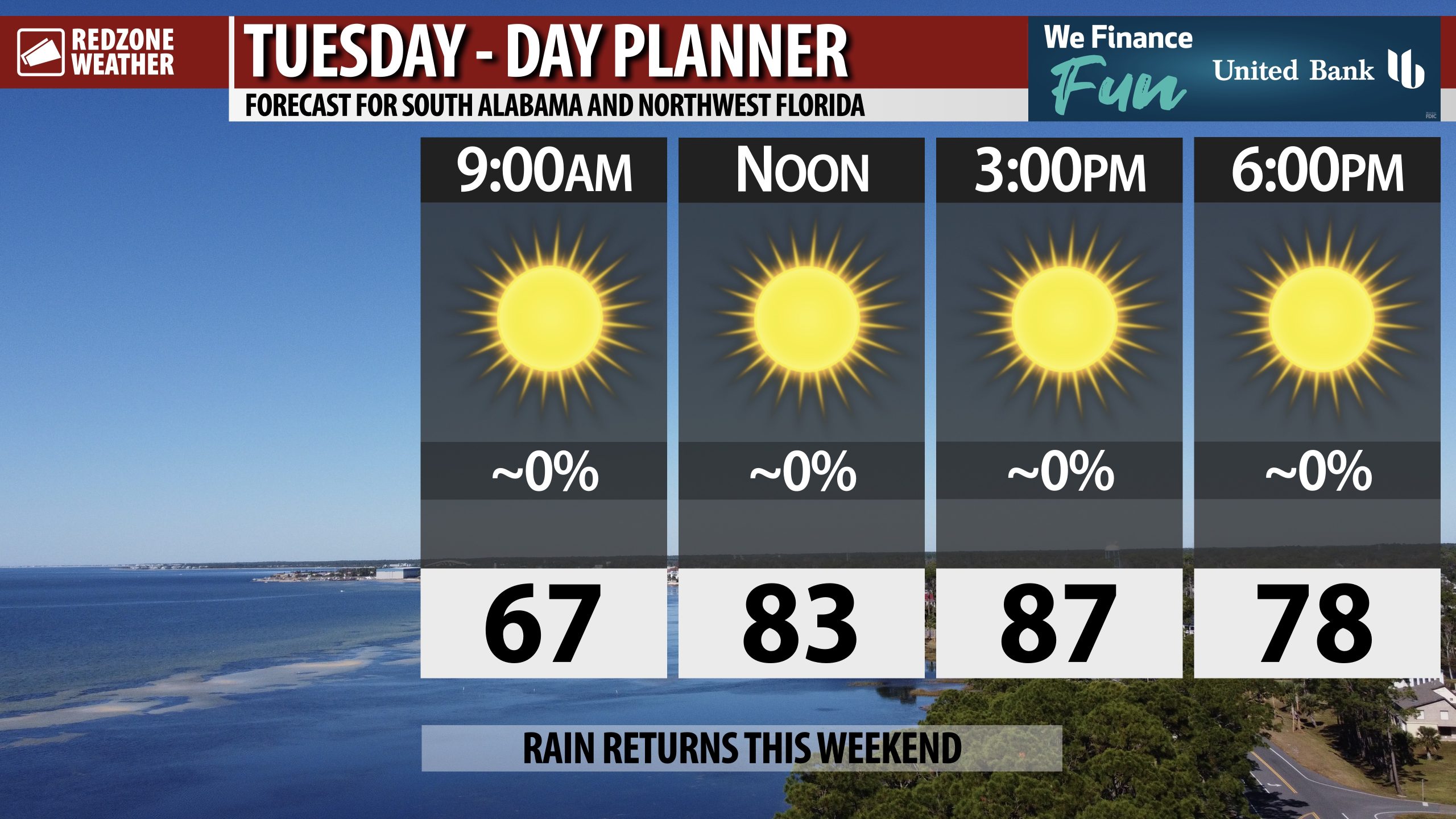
BEAUTIFUL TUESDAY; NEXT RAIN CHANCE THIS WEEKEND… Gorgeous weather is expected again on this Tuesday across south Alabama and Northwest Florida. High temperatures will be in the mid to upper 80s. We’re looking ahead to the upcoming weekend when we will have at least some chance of showers and thunderstorms moving through the local area as a cold front moves southeast. For now, the overall threat of severe storms remains LOW, but perhaps not entirely zero.
SCATTERED STORMS THIS WEEKEND DUE TO COLD FRONT… Showers and thunderstorms will become possible as early as Saturday evening across parts of south Alabama and northwest Florida. It looks like Sunday morning will be the time when rain chances will peak across the local area as a cold front moves southeast. The Storm Prediction Center may introduce a low-end, Level 1 (out of 5) severe weather risk valid for Saturday night and/or Sunday as we get closer to the event. This will be the first potential for any severe weather we have had in quite some time. Now is the time to start thinking about preparedness plans, even if this ends up being a low-end risk. We go into the secondary peak of severe weather season in November and December.
TROPICAL STORM LORENZO IN ATLANTIC… The National Hurricane Center initiated advisories yesterday on Tropical Storm Lorenzo, located about halfway between the Lesser Antilles and the west coast of Africa in the remote, open Atlantic Ocean. Thankfully, Lorenzo will remain well away from land areas as the system moves north over the next few days.
TROPICS: GULF & CARIBBEAN REMAIN QUIET… The Gulf and the Caribbean are quiet on this Tuesday with no tropical storms expected to form over the next 5-7 days. Great news!
APP… If you haven’t already downloaded the RedZone Weather app, now is a great time to do that. redzoneweather.com/app is the link to the free download. Once you have the RZW app installed on your iOS or Android device, be sure to visit the Alerts tab to turn on the specific notifications you’d like to receive. All notifications are handcrafted by me. No automation and we promise not to bug you!
See all the details in your Tuesday morning RedZone Weather forecast video. My next forecast video will be posted by 7:15AM tomorrow morning. I will have updates posted throughout the day, as needed, in the RedZone Weather app.
Have a great Tuesday!