MOST TORNADO WARNINGS IN THE LAST 5 YEARS: BALDWIN, WASHINGTON, SANTA ROSA… South Alabama and northwest Florida had the highest number of tornado watches issued in the year 2020. We now know (for our local area) parts of Baldwin, Washington, and Santa Rosa counties have had the highest number of tornado warnings issued in the last 5 years. I am in the process of compiling quite a bit of data and statistics related to warnings and watches issued for our area to include in our 2021 advertising/sponsorship catalog. This deep dive into the data has revealed that there seem to be 3 distinct “hotspots” for tornado warnings in our local area.
THE 3 HOTSPOTS FOR TORNADO WARNINGS LOCALLY… The attached map highlights the total number of tornado warnings issued from December 20, 2015 to today (January 26, 2021). There are three main hotspots that stick out as pronounced areas that have had a high number of tornado warnings.
1) Parts of Washington County, Alabama near Chatom, Bigbee, and Yarbo have had 17-19 tornado warnings.
2) The same holds true (17-19 tornado warnings) for parts of Santa Rosa County, FL, specifically near Chumuckla, Brownsdale, and New York.
3) An area near Jack Edwards Airport, north of Gulf Shores, in Baldwin County, AL has also had around 17 tornado warnings since December 2015.
PARTS OF BUTLER COUNTY HAVE HAD BETTER LUCK… Areas near Georgiana, McKenzie, and Chapman in southern Butler County seem to have fared best in our area with only one tornado warning noted in the last 4 years. Both Conecuh County and Butler County seem to have had less issues with tornado warnings. As always though, “past performance is not necessarily indicative of future results.” Just because these areas have not had many tornado warnings does not mean that trend will necessarily continue. It is critical that we ALL are prepared consistently for tornadoes!
TORNADO WATCH CAPITAL OF THE WORLD IN 2020… If I asked you what area of the country has had the highest number of tornado watches in 2020, what area would you guess? The Great Plains? Nope. Traditional “tornado alley?” Nope, not even close. The real “winner” of the most number of tornado watches this year is right here in our back yard in south Alabama and northwest Florida. See this post from several weeks ago discussing this in detail: https://www.facebook.com/rzweather/posts/1764441980380800
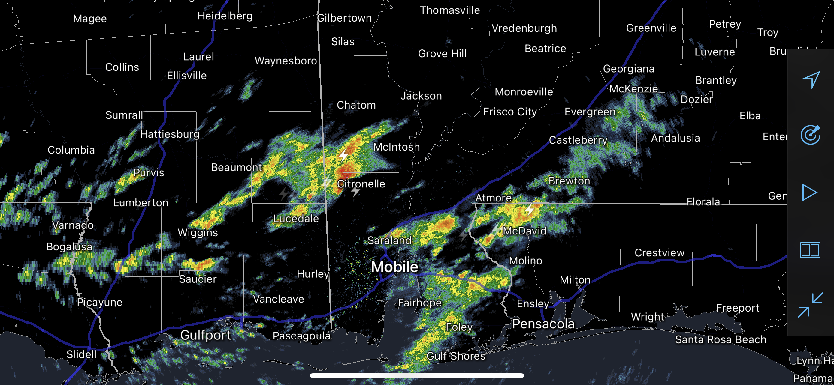
EF3 TORNADO CONFIRMED IN FULTONDALE… The National Weather Service in Birmingham conducted damage surveys today in Fultondale, a community in Jefferson County on the north side of the Birmingham metro area in north-central Alabama. NWS Birmingham found damage consistent with an EF3 tornado. That is a strong, significant tornado! Unfortunately, one person (a freshman in high school) passed away due to injuries sustained due to a tree falling in the tornado. 30+ people were injured by the strong tornado that was on the ground for 9.5 miles and was at least 500 yards wide. Our thoughts and prayers are with everyone affected by that terrible storm!
APP… If you haven’t already, be sure to download the free RedZone Weather app to keep up with all the latest information on the world of weather in south Alabama and northwest Florida. redzoneweather.com/app is the link for the free download. Once you have the app downloaded to your iOS or Android device, be sure to visit the Alerts tab (lower right corner) and tap the large, yellow Alert Settings button to customize the alerts you would like to receive straight from me.
My next forecast video will be posted by 7:15AM tomorrow morning. Have a good evening!
Tap below to support this RZW sponsor!