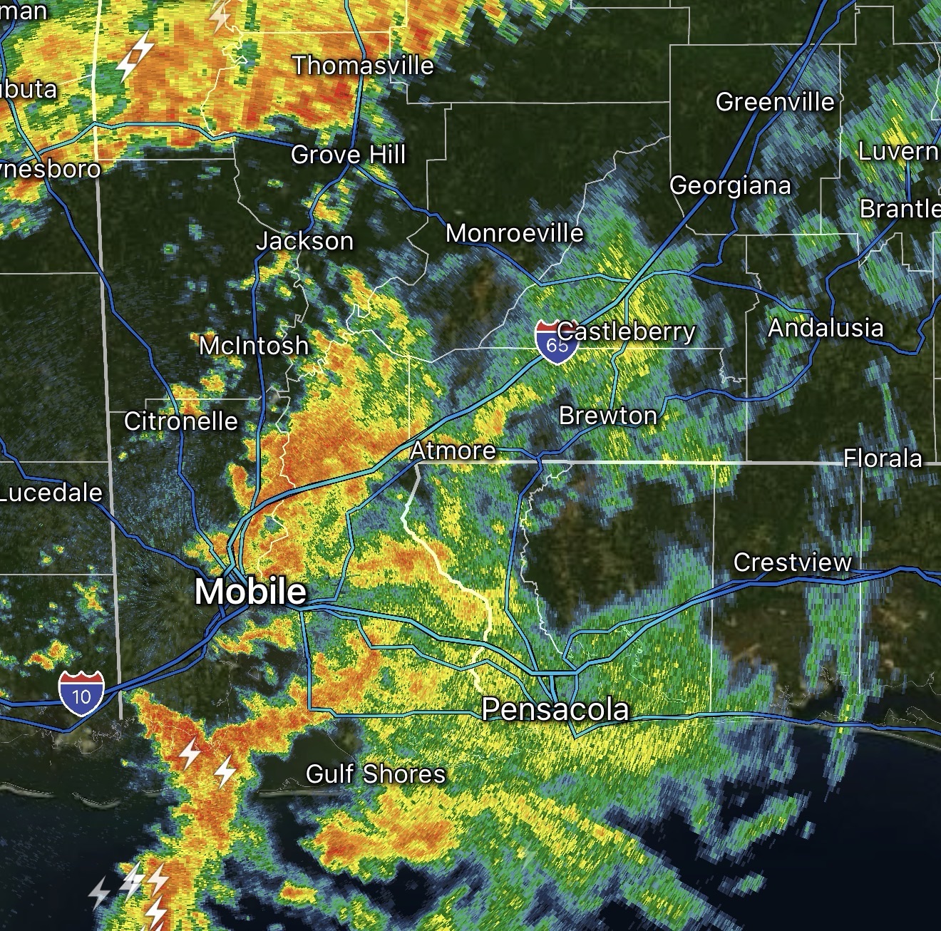
SCATTERED STORMS PROGRESSING EAST… Thunderstorms are moving east across south Alabama and northwest Florida early on this Sunday. Right now, I continue to focus on two zones that warrant attention.
The first area of concern is in southern Baldwin County. Weak, brief areas of rotation have been noted over the last hour in the cells happening in southern Mobile Bay and across the northern Gulf. The isolated cell located about 10-15 miles south-southwest of Gulf Shores continues to show strong signs of rotation. A waterspout or multiple waterspouts are likely ongoing.
The other area of concern is the line of storms now pushing through southern Choctaw, northern Clarke, far northern Washington, and Wilcox counties in west Alabama. Gusty winds may be possible along the leading edge of these storms. Thankfully, I haven’t had many reports of wind and/or damage.
There is quite a bit of rain and general (non-severe) thunderstorms happening elsewhere across the region, but these storms (near Bay Minette, Pensacola, Atmore, Evergreen) are not severe.
I will continue to monitor radar trends over the next few hours and have further updates posted in the RedZone Weather app.
