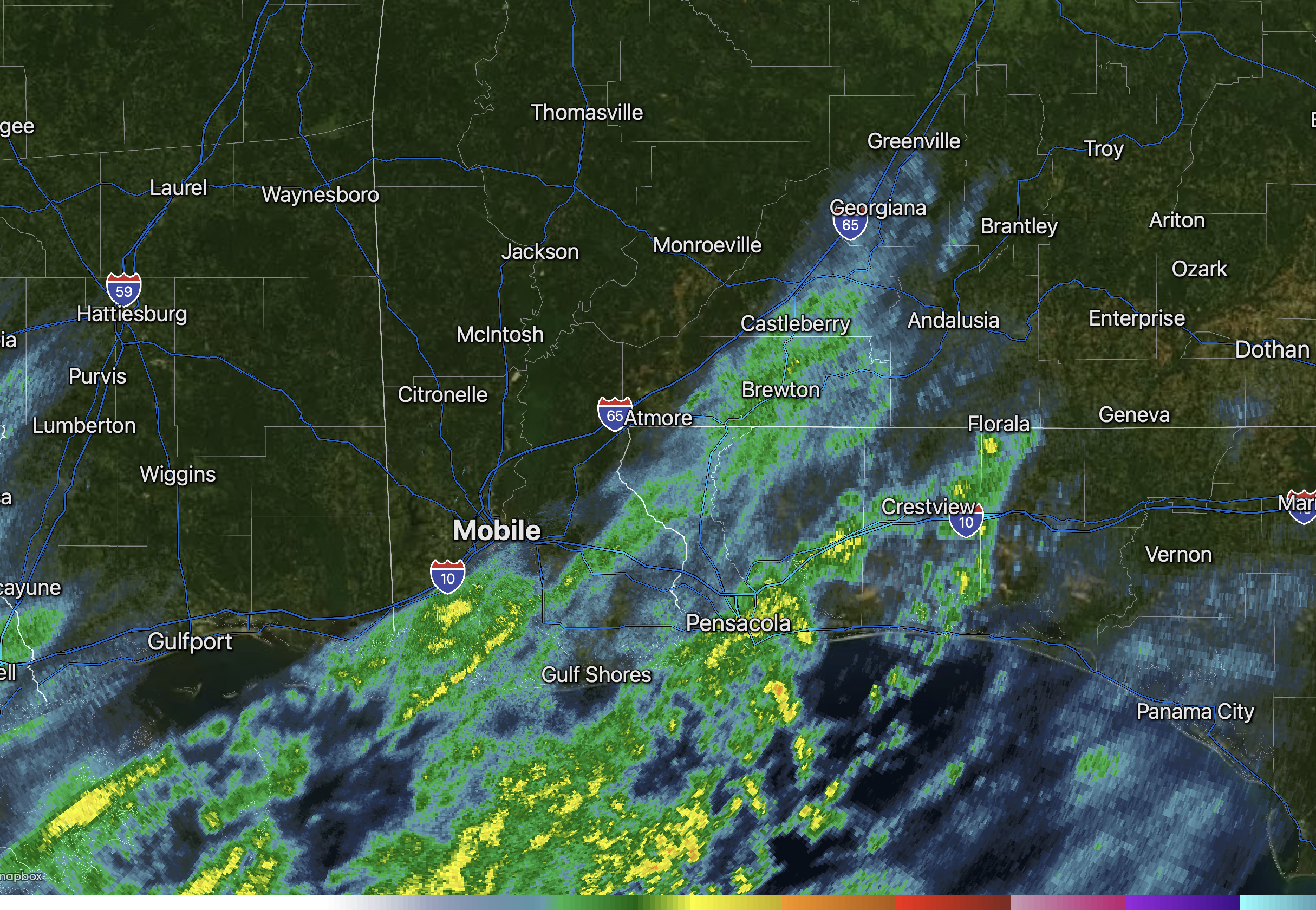
SCATTERED RAIN MOVING NORTHEAST… Scattered rain showers are moving northeast, just after midnight on this Sunday morning. If you’re waiting on the potential for snow, you may be waiting a few more hours. We’re watching surface observations carefully. Right now, the 32° freezing line is situated in parts of central Alabama. Freezing temperatures are happening as far south as Choctaw, Marengo, Perry, and northern Chilton counties in west-central Alabama.
The overlap of colder air and precipitation may begin around 3-4AM. The overall forecast remains on track. The greatest chance of any minor snow accumulations will happen in parts of Covington, northern Okaloosa, and northern Walton counties and in points to the east of there in southeast Alabama and parts of the Florida Panhandle. South-central Georgia remains the main focal point for heavier snow later this morning.
A brief period of hazardous road conditions may be possible around sunrise and shortly thereafter across parts of the local area if precipitation changes over to snow. Road conditions should improve fairly quickly after 9AM as temperatures rise into the upper 30s and ultimately the 40s later this afternoon.
