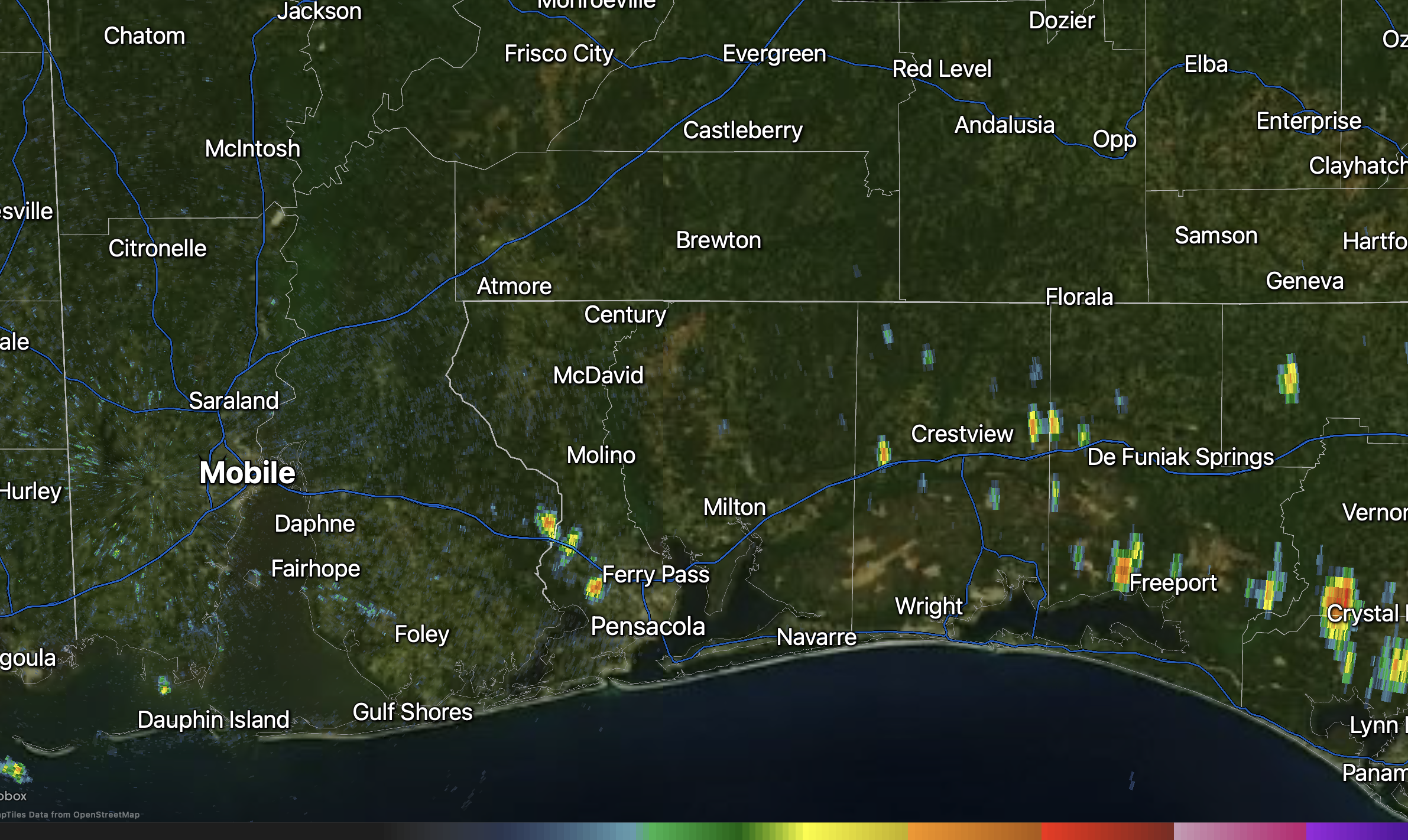
MAINLY SUNNY TODAY W/ A FEW P.M. STORMS; HOTTER TEMPS THIS WEEKEND… Rain chances will remain low across the region today, but not completely zero with spotty showers and thunderstorms being possible. Most of the spotty showers and storms will happen in the afternoon and evening hours. High temperatures will be in the 90-95° range across the region with heat index values as high as 110°. Only isolated, summertime pop-up showers and thunderstorms are expected, with slightly higher chances closer to the coast and over parts of northwest Florida where moisture is a bit deeper. Any storm that does manage to develop could produce a quick downpour, gusty winds, loud thunder, and cloud-to-ground lightning, but widespread severe weather is not expected.
TRENDING HOTTER & DRIER TOMORROW AND FRIDAY… The overall setup does not change much tomorrow, with the upper ridge of high pressure tightening its grip on our local weather pattern. Expect another mostly sunny, hot, and humid day with highs in the low to mid 90s tomorrow and again on Friday. Rain chances will be quite low tomorrow and Friday, with only a few isolated pop-up storms mainly in the afternoon and early evening hours. This means most communities will remain dry and hot over the next couple of days.
QUITE HOT & MAINLY DRY THIS WEEKEND INTO EARLY NEXT WEEK… Temperatures will be in the mid to upper 90s this weekend into early next week with heat index values potentially as high as 115° in some spots in the afternoon hours. A large ridge of high pressure will become the firm driver of our weather pattern this weekend. This points to drier conditions (lower rain chances in the afternoon and evening hours) and hotter temperatures. Plenty of humidity each day means the air will feel a whole lot hotter than it actually is. Plan for plenty of breaks if you’ll be outside this weekend as this will be even hotter than our typical summer heat!
TROPICS: GULF & CARIBBEAN SEA QUIET… No tropical storms are expected to form over the next 5-7 days in the Gulf or in the Caribbean Sea.
TROPICS: DISTURBANCE NORTHEAST OF BERMUDA… An area of disturbed weather located a few hundred miles northeast of Bermuda in the Atlantic Ocean continues to move eastward and away from North America. This feature has a low-end chance of briefly becoming a tropical or subtropical storm over the next day or so.
TROPICS: HIGH CHANCE OF TROPICAL STORM FORMING IN ATLANTIC… There is a high (70%) chance of a tropical wave in the central Atlantic Ocean becoming the next named tropical storm over the next few days. The disturbance is located about halfway between the Lesser Antilles and the west coast of Africa. The system will continue moving west over the next few days, likely remaining away from land areas through at least Saturday. Most of the model guidance recurves the system into the open waters of the Atlantic, north of Puerto Rico. This is something I will be monitoring over the next few days.
APP… If you haven’t already downloaded the RedZone Weather app, now is a great time to do that. redzoneweather.com/app is the link to the free download. Once you have the RZW app installed on your iOS or Android device, be sure to visit the Alerts tab to turn on the specific notifications you’d like to receive. All notifications are handcrafted by me. No automation and we promise not to bug you!
See all the details in your Wednesday RedZone Weather forecast video. My next forecast video will be posted by 7:15AM tomorrow morning. I will have updates posted throughout the day, as needed, in the RedZone Weather app.
Have a wonderful Wednesday!