6:28AM September 27, 2025
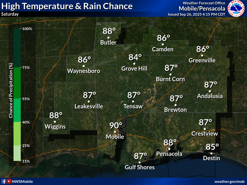
MOSTLY SUNNY THIS AFTERNOON… Dense fog is happening in some communities this morning. Fog will burn off later this morning, giving way to mostly sunny skies this afternoon.
High temperatures will be in the upper 80s today.
Hope you have a great Saturday!