6:28AM December 15, 2025
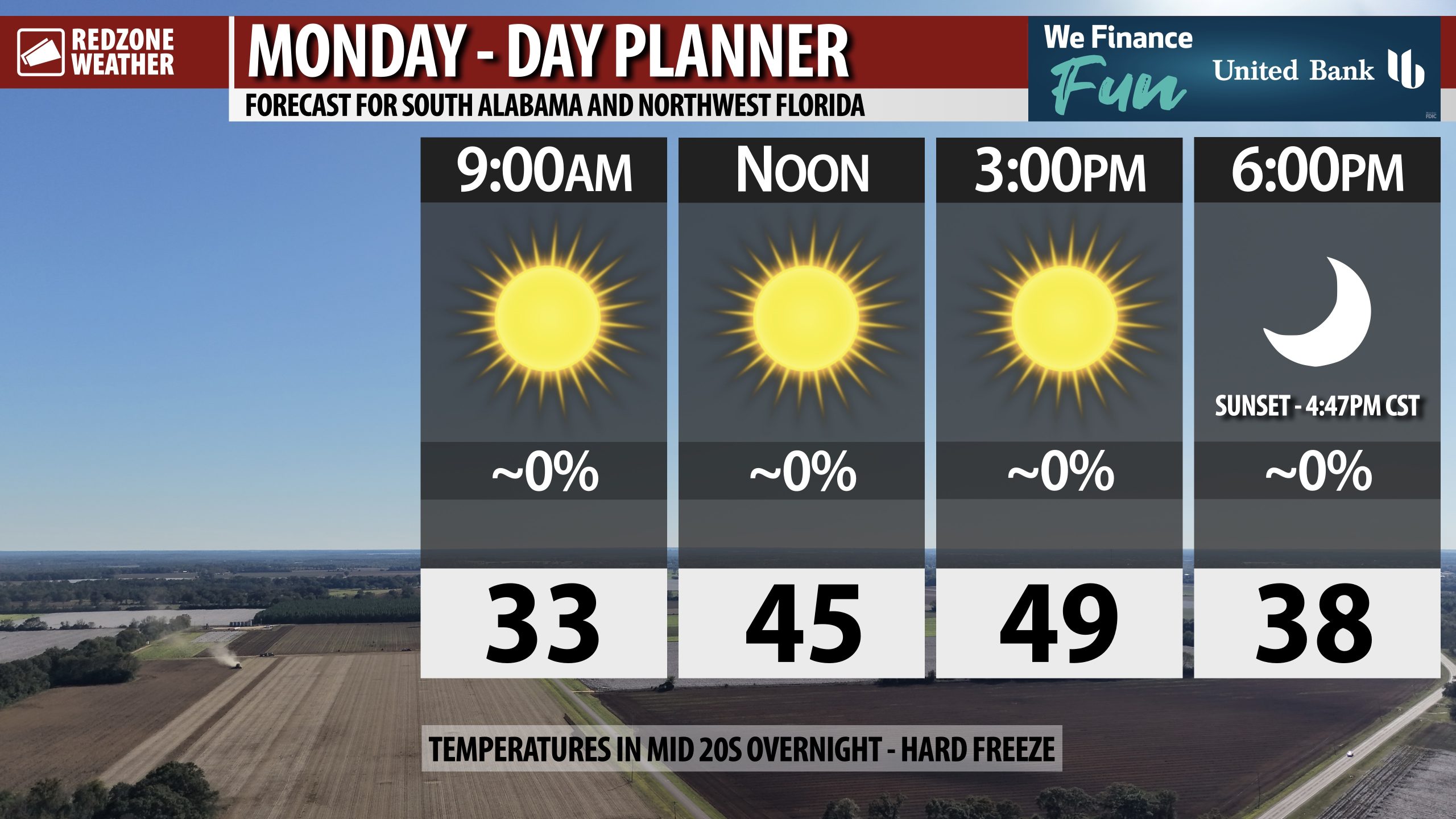
SUNNY, COLD MONDAY; HARD FREEZE TONIGHT… Temperatures will struggle to get out of the 40s on this Monday. Thankfully, full sunshine is expected throughout the day.
Another hard freeze will happen overnight into early Tuesday morning. Milder temperatures coming tomorrow and Wednesday!


