Storms did not initiate as expected today, thus the severe weather risk has come to a close. Have a great evening! pic.twitter.com/wtVNXJeCQf
— Spinks Megginson (@rzweather) June 28, 2020
Tap below to support this RZW sponsor!


Storms did not initiate as expected today, thus the severe weather risk has come to a close. Have a great evening! pic.twitter.com/wtVNXJeCQf
— Spinks Megginson (@rzweather) June 28, 2020
Sunset Atmore,Al @spann @NWSMobile @rzweather @StormHour @ThomasGeboyWX @michaelwhitewx @WEARKDaniel @AlanSealls @WKRGEd @GarofaloWX #alwx #sunset #SaharanDust pic.twitter.com/WwERMVXyiZ
— Ditto Gorme (@sandtrapper) June 28, 2020

Tornado Warning for Cullman County in AL until 8:00pm.
— Spinks Megginson (@rzweather) June 28, 2020

Tornado Warning for Cullman County in AL until 7:30pm.
— Spinks Megginson (@rzweather) June 27, 2020

Tornado Warning for Cullman County in AL until 7:15pm.
— Spinks Megginson (@rzweather) June 27, 2020

Dodge city exit in cullman @spann can see it rotating pic.twitter.com/qDB6mbdM2M
— Jarred Jordan (@jarredjordan29) June 27, 2020

Tornado Warning for Cullman County in AL until 7:00pm.
— Spinks Megginson (@rzweather) June 27, 2020

4pm Radar Update…Isolated showers and thunderstorms continue to develop and will increase in coverage through early evening. Gusty winds and frequent lightning will be the primary threats. pic.twitter.com/owArZBgHZt
— NWS Mobile (@NWSMobile) June 27, 2020
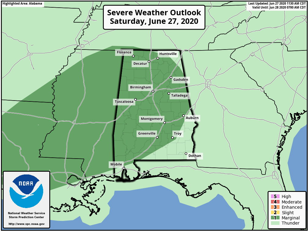
ISOLATED SEVERE STORMS POSSIBLE OVER THE NEXT FEW HOURS… A few strong to marginally severe thunderstorms will be possible across south Alabama and northwest Florida over the next 6 to 8 hours. The Storm Prediction Center has a Level 1 (out of 5) low-end severe weather risk zone in place for much of southwest Alabama, primarily including areas along and WEST of Interstate 65. These are the zones that have the greatest chance of seeing an isolated strong to severe storm before the end of the day.
MAIN CONCERN: GUSTY WINDS… The greatest risk in the storms that briefly become strong or severe today will be a chance of gusty winds, perhaps including isolated areas of damaging wind gusts capable of knocking down a few trees. The overall tornado risk remains very, very low if not zero in most spots. If an isolated tornado happens today, it will most likely be very brief.
RADAR UPDATES IN APP… I’ll have the latest information posted in the RedZone Weather app over the next few hours. Here is a look at the local radar view as of 3PM. Most of the region remains quiet, with the exception of a few showers across parts of Clarke and Washington counties in Alabama.


Plenty of cloud cover across the region this afternoon. So far, we’re dry. Showers and storms will likely pop up over the next several hours.
Isolated severe storms not out of the question with gusty winds being the main concern. Very, very low to no tornado risk today. pic.twitter.com/vWDDzgUs8S
— Spinks Megginson (@rzweather) June 27, 2020

Sunrise Atmore,Al @spann @NWSMobile @rzweather @StormHour @michaelwhitewx @ThomasGeboyWX @WEARKDaniel @AlanSealls @WKRGEd #alwx #sunrise #SaharanAirLayer pic.twitter.com/cdu37S2eDK
— Ditto Gorme (@sandtrapper) June 27, 2020

SCATTERED P.M. STORMS TODAY; HAZY SKIES CONTINUE… Rain chances have increased today with scattered showers and thunderstorms expected this afternoon across south Alabama and northwest Florida. We’ll call it a 40-50% chance of showers and thunderstorms this afternoon into this evening. There is a chance that some of the storms may be strong or marginally severe, with gusty winds being the main concern. High temperatures today will again be near the 90° mark. Hazy skies will continue to be in place across our region due to the ongoing dust moving in from the Saharan Air Layer (SAL). This dust should begin to subside tomorrow.
I’ll have radar updates in the RedZone Weather app as needed later today. Have a great Saturday!
40-50% chance of showers and thunderstorms this afternoon across south Alabama and northwest Florida. High temperatures will peak around the 90 degree mark. Hazy skies will continue due to the ongoing SAL/dust in the area!
— Spinks Megginson (@rzweather) June 27, 2020

Thunderstorms continue to bubble up this evening… Another heavy shower has popped up near Atmore. Rain and storms continue near Greenville, Georgians, Andalusia, Carolina, Opp, and surrounding areas.
Storms will fade away after sunset. pic.twitter.com/gPIbEGFV2a
— Spinks Megginson (@rzweather) June 27, 2020

My power is still out, has been for an hour or two, and I live right across from Mason millpond on 31, ..but I heard sirens so im hoping nobody wrecked.
— Derek T Smith (@thatdudesmitt) June 26, 2020

Wow big storms popping up along this outflow boundary in Mobile, AL. @NWSMobile @rzweather @WKRGEd pic.twitter.com/eJE89s2v5w
— Tyler Smith (@TylerSmith_wx) June 26, 2020

Trees and power lines down on US-31 north of Brewton near Mason Millpond Road, presumably due to the storm that passed through there a bit ago. This is near the Appleton community. @NWSMobile
— Spinks Megginson (@rzweather) June 26, 2020
Thunderstorms continue to push inland this evening… Heavy rain likely to begin soon near Monroeville, Mexia, Excel, Evergreen, and Andalusia. pic.twitter.com/kC6uhLk8eP
— Spinks Megginson (@rzweather) June 26, 2020
Funnel cloud and possible brief tornado in Bratt, FL about an hour ago… Video from Kris Champion. @NWSMobile pic.twitter.com/vO1olUpfPd
— Spinks Megginson (@rzweather) June 26, 2020

SEVERE THUNDERSTORM WARNING… The National Weather Service has issued a severe thunderstorm warning for much of Washington County in west Alabama. This is due to a storm currently near McIntosh that is moving north at 10-15mph.
The main concern with this storm is the potential for large hail (up to quarter size) and gusty winds up to 60mph. No travel is advised right now on US43 from McIntosh northward to Wagerville.
Severe Thunderstorm Warning for Washington County in AL until 5:30pm.
— Spinks Megginson (@rzweather) June 26, 2020
Storms have become a bit more numerous this evening as of 4:04PM. Heavy rain is happening near Atmore, Nokomis, Flomaton, Pineview, Dixonville, Baker, Beaver Creek, Goodway, and Turnerville.
Storms are not moving much at all. pic.twitter.com/Q17swb0LCs
— Spinks Megginson (@rzweather) June 26, 2020
Isolated downpours have popped up this afternoon near Century, Bluff Springs, Phillipsville, Pine Grove, Walnut Hill, and Bratt. These highly isolated storms are slowly drifting northeast.
Widespread rain and storms are not expected today. Hazy skies set to continue. pic.twitter.com/vrdAdMkz1W
— Spinks Megginson (@rzweather) June 26, 2020


