
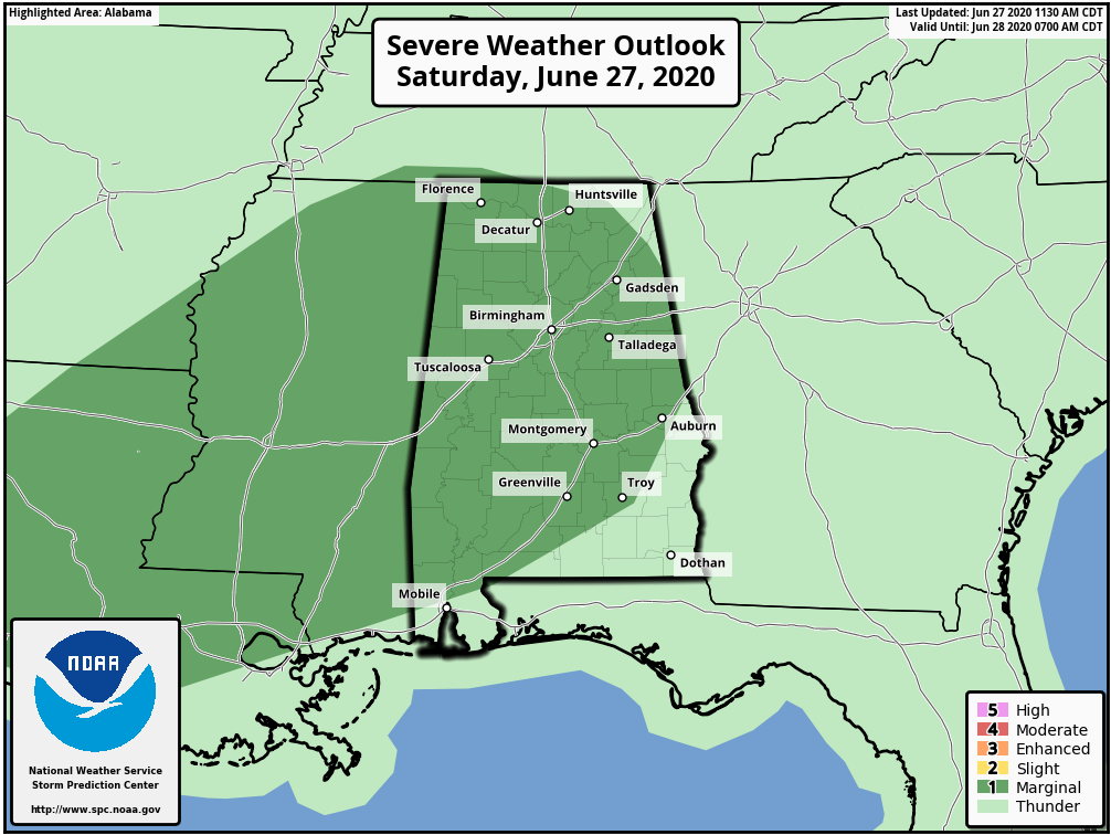
ISOLATED SEVERE STORMS POSSIBLE OVER THE NEXT FEW HOURS… A few strong to marginally severe thunderstorms will be possible across south Alabama and northwest Florida over the next 6 to 8 hours. The Storm Prediction Center has a Level 1 (out of 5) low-end severe weather risk zone in place for much of southwest Alabama, primarily including areas along and WEST of Interstate 65. These are the zones that have the greatest chance of seeing an isolated strong to severe storm before the end of the day.
MAIN CONCERN: GUSTY WINDS… The greatest risk in the storms that briefly become strong or severe today will be a chance of gusty winds, perhaps including isolated areas of damaging wind gusts capable of knocking down a few trees. The overall tornado risk remains very, very low if not zero in most spots. If an isolated tornado happens today, it will most likely be very brief.
RADAR UPDATES IN APP… I’ll have the latest information posted in the RedZone Weather app over the next few hours. Here is a look at the local radar view as of 3PM. Most of the region remains quiet, with the exception of a few showers across parts of Clarke and Washington counties in Alabama.
