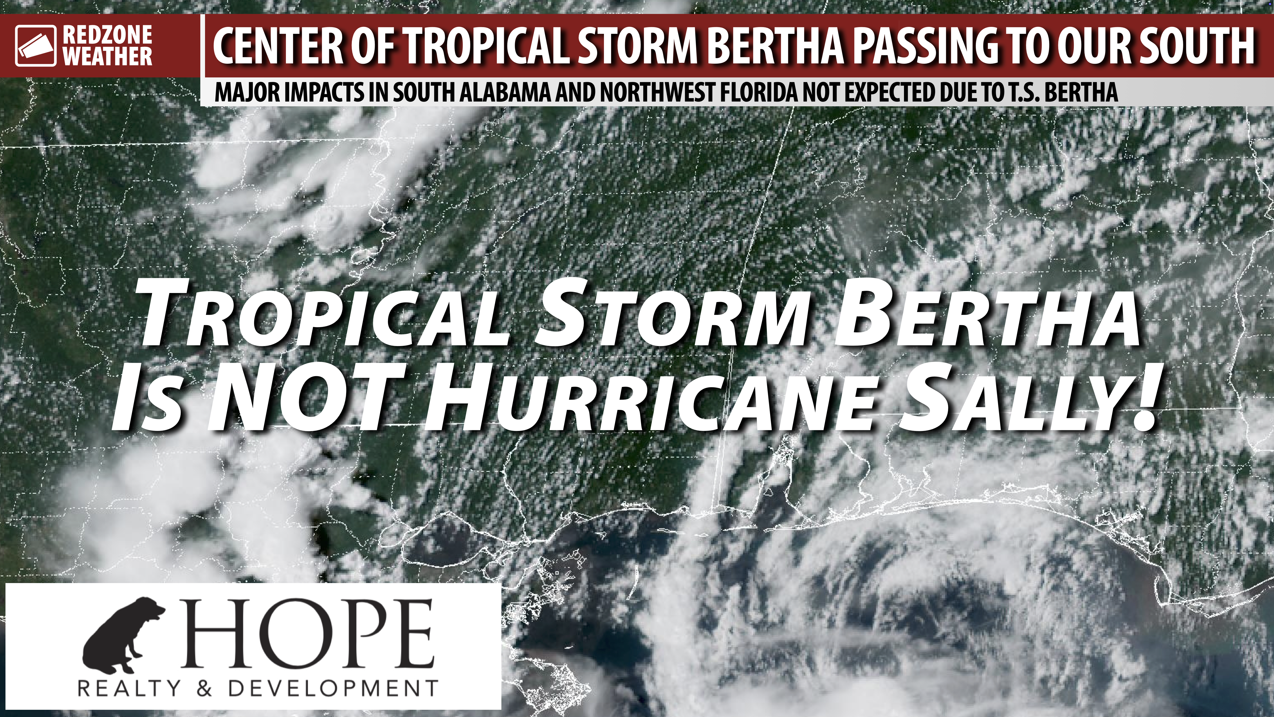
BERTHA TO MOVE WEST; SIGNIFICANT IMPACTS NOT EXPECTED IN AL OR N.W. FL… The forecast for Tropical Storm Bertha remains on target as of 4PM Tuesday. Bertha is a 60 mph tropical storm, likely at or near peak intensity now, pushing westward toward a Louisiana landfall tomorrow. My inbox has been filled with concerned folks, thinking this could be an eerily similar outcome to what happened with Hurricane Sally. Thankfully, this is a totally different setup than Sally. Let’s talk about why.
SALLY PEAKED IN INTENSITY RIGHT BEFORE LANDFALL… I acknowledge the trauma and memories associated with Hurricane Sally that a lot of people experienced. Sally, like Bertha, was a slow-moving storm in the northern Gulf that hung around for several days before making landfall in Gulf Shores, Alabama on the 16th anniversary (same hour!) as Hurricane Ivan. The storm was a forecasting nightmare. Sally brought serious damage to parts of our region, mainly in Baldwin, Escambia (FL), and Santa Rosa counties. Hurricane Sally was officially ranked as a high-end, category 2 hurricane at landfall, right on the cusp of becoming a major hurricane as it crossed the coastline in Gulf Shores. The key difference with what happened with Sally versus what is happening with Bertha is that atmospheric shear from the north is keeping nearly all of the intense wind and thunderstorm south of the center of circulation, aka over the northern Gulf and away from land areas.
BERTHA IS LOPSIDED TO THE SOUTH; SALLY WAS NOT… Tropical Storm Bertha has a nearly exposed low-level circulation, located about 85 miles south of Pensacola, FL. There are showers and occasional thunderstorms happening on the northern quadrant of Bertha, but the system is *nowhere near* being a symmetric hurricane like Hurricane Sally. Atmospheric shear is expected to increase in the hours ahead, likely keeping Bertha at the same intensity or even weakening the system prior to landfall in Louisiana tomorrow. Quite the opposite setup happened with Sally with the shear and upper-level environment actually getting more favorable, right up until the storm made landfall.
BERTHA IS NOW MOVING MORE QUICKLY… Tropical Storm Bertha is now moving northwest and will ultimately be moving due west soon. The forward motion has increased to near 6 mph, doubling the speed of the system from this morning. The storm will likely continue moving around 5-10 mph as the center approaches Louisiana tomorrow. There is very high confidence that Bertha will “make the turn west” in the hours ahead. That process is technically already underway based on the latest visible satellite imagery.
TROPICAL STORM WARNING FOR THE COASTAL ZONES LOCALLY… We have a Tropical Storm Warning in effect for coastal sections of Mobile, Baldwin, Escambia (FL), Santa Rosa, Okaloosa, and Walton counties. This is due to the potential for tropical storm force winds near the coast today, tonight, and into tomorrow. Wind gusts will likely subside somewhat tomorrow evening as the core of Bertha moves west and away from our local area. Significant wind impacts are not expected, generally north of I-10.
4PM TUESDAY ADVISORY – BERTHA… At 4PM, maximum sustained winds on the southern side of Tropical Storm Bertha are near 60 mph. Minimum central pressure is at 995 millibars and holding steady. Forward movement is to the northwest at 6 mph. A Tropical Storm Warning is in effect from Morgan City, Louisiana to near Mexico Beach, FL.
WHAT TO EXPECT – TONIGHT INTO TOMORROW… Spotty showers and thunderstorms will continue to be possible across south Alabama and northwest Florida tonight into tomorrow. Widespread severe storms are not expected. Isolated, nuisance-type flooding may be possible in flood prone areas but I am not expecting significant, long-lasting flash flooding.
UPDATE ON THE TORNADO RISK… It seems like the overall strength of Bertha won’t be conducive for many, if any, tornadoes across land areas across the local area. Coastal areas (south of I-10) may have a very low-end tornado risk overnight into Wednesday, but quite frankly, that is questionable. I am not totally convinced our area will have a tornado risk because of this system. I’ll watch radar trends and of course, if we happen to have a tornado warning or two, we’ll come on Facebook Live and YouTube Live to bring you the latest information.
TORNADO WARNING POLICY… Any time there is an active tornado warning in effect for southwest Alabama or northwest Florida, we provide uninterrupted, live video coverage on Facebook Live and YouTube Live. Our detailed coverage commitment is outlined at redzoneweather.com/coverage. We are proud to cover all parts of Escambia (AL), Covington, Monroe, Conecuh, Baldwin, Mobile, Clarke, Washington (AL), Butler, Escambia (FL), Santa Rosa, and Okaloosa counties. If you live in any locale in those counties, be sure to tune into our coverage whenever there is an active tornado warning!
APP ALERTS… redzoneweather.com/app is the link where you can download the free RedZone Weather app. We post brief updates throughout each day in the app, keeping you up-to-date about the latest happenings in weather across south Alabama and northwest Florida. Once you have the free app downloaded to your iOS or Android device, be sure to visit the Alerts tab (lower right corner) then tap the large Alert Settings button to customize the alerts you would like to receive straight from me.
I will have more updates posted throughout the evening in the RedZone Weather app.
Have a good evening!