6:14AM January 10, 2026
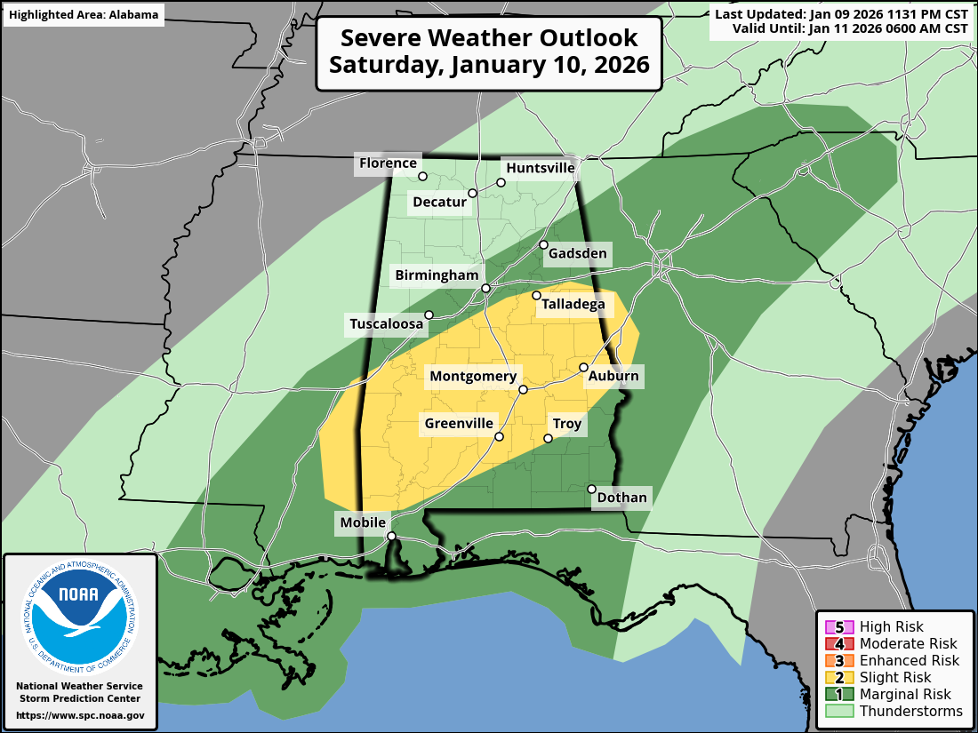
A Tornado Warning may be needed soon for areas near Butler and Lisman in Choctaw County, Alabama as a rotating storm in Mississippi moves in.
This storm will pass safely north of Clarke County, AL but could be a problem for Marengo County. pic.twitter.com/64lMRgYy4h
— Spinks Megginson (@rzweather) January 10, 2026