
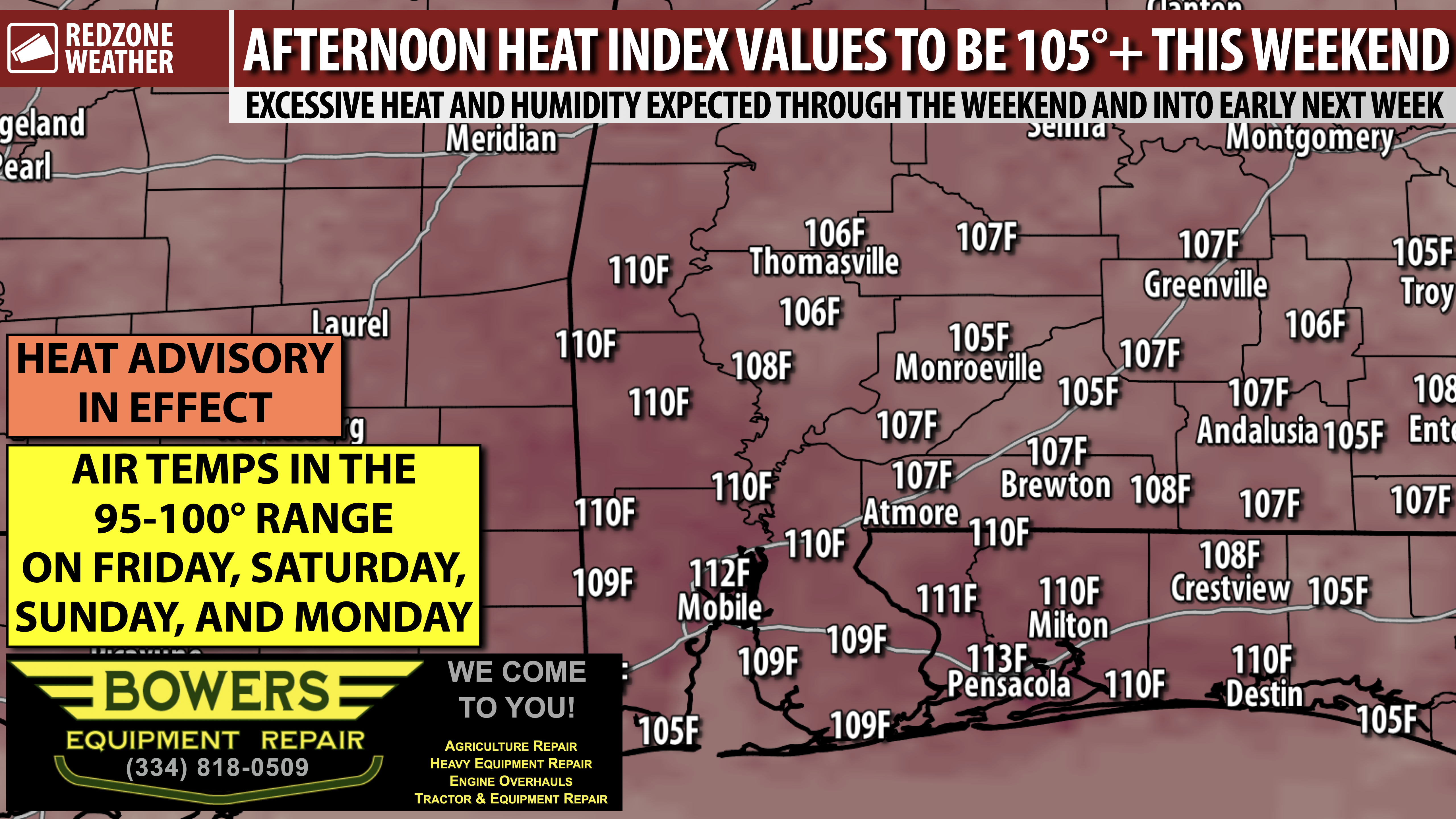
VERY HOT & HUMID FRIDAY AND INTO WEEKEND; HEAT ADVISORY… No shock that it will be hot in mid-August, but please be aware that temperatures will be running 5-10° above our “normal heat” values for this time of year over the next few days. Heat index values will be in the 105-115° range in the afternoon hours of Friday, Saturday, Sunday, and Monday. Our local area is on the southeast periphery of an area of high pressure. This feature acts as a “heat dome,” allowing ample heat, prolific humidity, and only a few spotty, P.M. storms each day. This pattern will be in place all weekend long.
Air temperatures are expected to be in the mid to upper 90s over the next several days with heat index numbers as high as 115° in the afternoon near the coast. Please take it easy if you’ll be outside for an extended period. It will be a great weekend to be in the pool, at the creek/river, or at the beach. Rain chances remain LOW (10-20% chance each afternoon/evening) with no organized severe storms expected through the weekend.
I’ll have a detailed look at the forecast posted in the next regularly scheduled RedZone Weather forecast video that will be posted by 7:15AM tomorrow morning.
Have a great Thursday evening!
