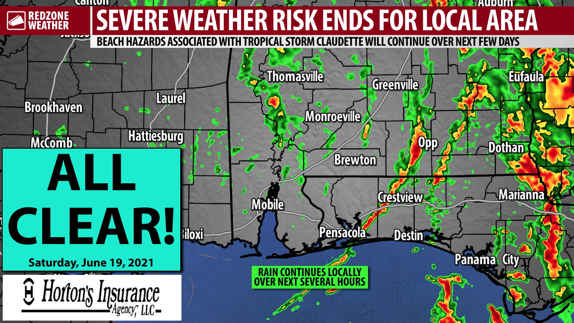
ALL CLEAR – TORNADO RISK ENDS LOCALLY… The risk of tornadoes is now over across all parts of southwest Alabama and northwest Florida. Ongoing beach hazards due to Tropical Depression Claudette will continue tonight into Sunday, including dangerous rip currents and high surf. Please stay out of the Gulf if red flags are flying in your specific beach location.
WHAT TO EXPECT – NEXT FEW HOURS… Occasional rain and thunderstorms (including loud thunder, potentially) will be possible through the evening hours and into the overnight. The better dynamics associated with Claudette are moving away from our area, thus limiting any further storm development to nearly certainly be below severe limits.
TORNADO SURVEY DAMAGE TOMORROW… The National Weather Service will begin conducting storm surveys tomorrow on the several areas of damage that happened due to tornadoes and wind across our local area. One survey team will travel to Brewton, East Brewton, and Kirkland tomorrow to survey the path of the tornado that moved through earlier today. No word on where other survey teams will go just yet.
More showers and thunderstorms will be possible on Sunday, but tornadoes are NOT expected locally at this time. Good news!
APP… If you haven’t already, be sure to download the free RedZone Weather app to keep up with all the latest information on the world of weather in south Alabama and northwest Florida. redzoneweather.com/app is the link for the free download. Once you have the app downloaded to your iOS or Android device, be sure to visit the Alerts tab (lower right corner) and tap the large, yellow Alert Settings button to customize the alerts you would like to receive straight from me.
This concludes our nonstop coverage for the day on what was Tropical Storm Claudette, now a weak tropical depression centered over west-central Alabama. It is my hope that our nonstop coverage benefited you and your family today.
Have a wonderful Saturday evening!
